
Illustrated map of California for Kift
Travel
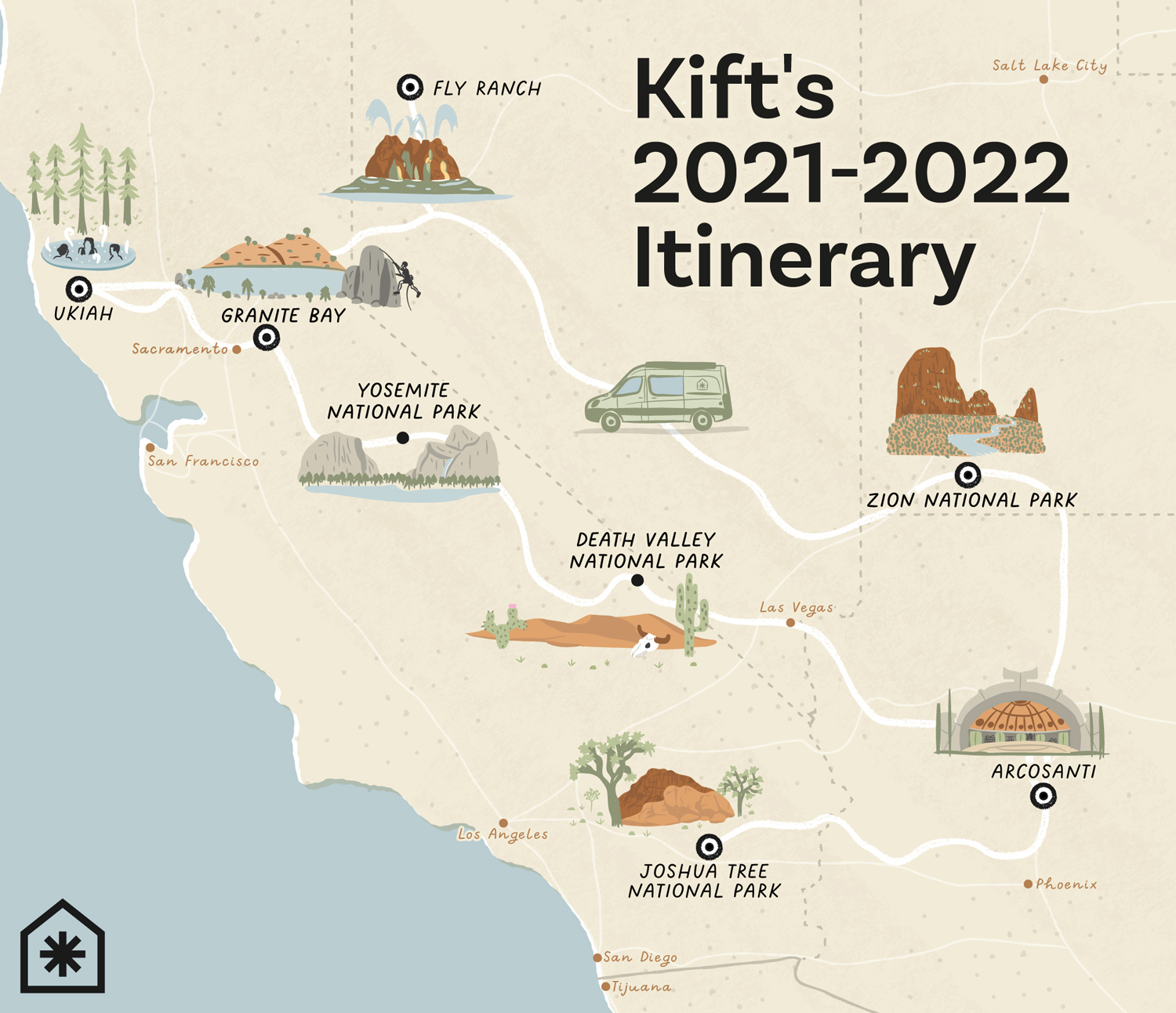
This illustrated map shows the itinerary for a road trip going through California, Nevada, Utah and Arizona with stops along the way for a co-living company that brings together vanlife, clubhouses in unique locations, and community for a new way to live.
The map features nine illustrations representing Yosemite National Park (CA), Death Valley National Park (CA), Zion National Park (UT), Joshua Tree National Park (CA), Arcosanti (AZ), Fly Ranch (NV), Ukiah (CA), Granite Bay (CA) and a Sprinter campervan.
Additionally to this map, I created a set of five minimalist travel stickers that were offered to the participants of this road trip after each corresponding stop.
- LocationUkiah, Granite Bay, Yosemite National Park, Death Valley National Park, Joshua Tree National Park, California, Fly Ranch, Nevada, Zion National Park, Utah, Arcosanti, Arizona
- ClientKift
- CreditsThis 100% vector map was created by Greg Franco - Le Cartographiste with Adobe Illustrator and without the help of AI. Adobe Illustrator brushes from RetroSupply Co.


