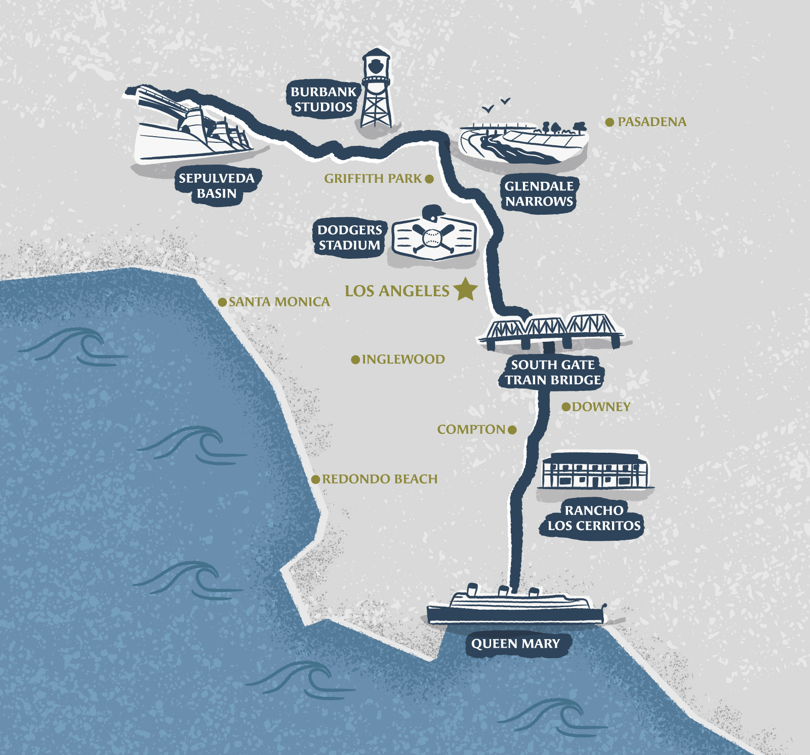

Illustrated map of Los Angeles
Sports & Leisure
This illustrated map of Los Angeles was made to promote a 50 miles virtual running challenge following the Los Angeles River path, from Sepulveda Bassin to the Queen Mary, highlighting iconic landmarks along the way such as the Dodgers Stadium, Glendale Narrow or South Gate Train Bridge.
Beside being used on the race's website, it was also printed on the back of shirts offered to the participants.
- LocationLos Angeles, California, USA
- CreditsThis 100% vector map was created by Greg Franco - Le Cartographiste with Adobe Illustrator and without the help of AI. Adobe Illustrator brushes from RetroSupply Co.


