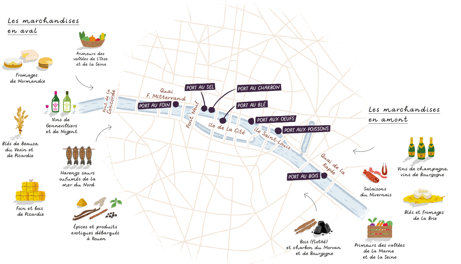

Illustrated map of Paris for the book Let's Eat Paris
Editorial
Illustrated map of Paris for François-Régis Gaudry's book "On Va Déguster Paris" (Let's Eat Paris) about the Parisian gastronomy published by Marabout.
This map highlights the Seine river and its role as the main transport route for goods before the arrival of the railways. The illustrations depict the different goods that were transported according to their origin (upstream or downstream from Paris) and were unloaded in specific ports which no longer exist today.
Let's Eat Paris is a 448 pages encyclopedia/guide about the Parisian gastronomy and I'm fortunate to be part of the 20 illustrators that helped make this book a real piece of art.
- LocationParis, France
- Art DirectorHic et Nunc studio and Drink studio
- ClientMarabout
- CreditsThis 100% vector map was created by Greg Franco - Le Cartographiste with Adobe Illustrator and without the help of AI. Adobe Illustrator brushes from RetroSupply Co.


