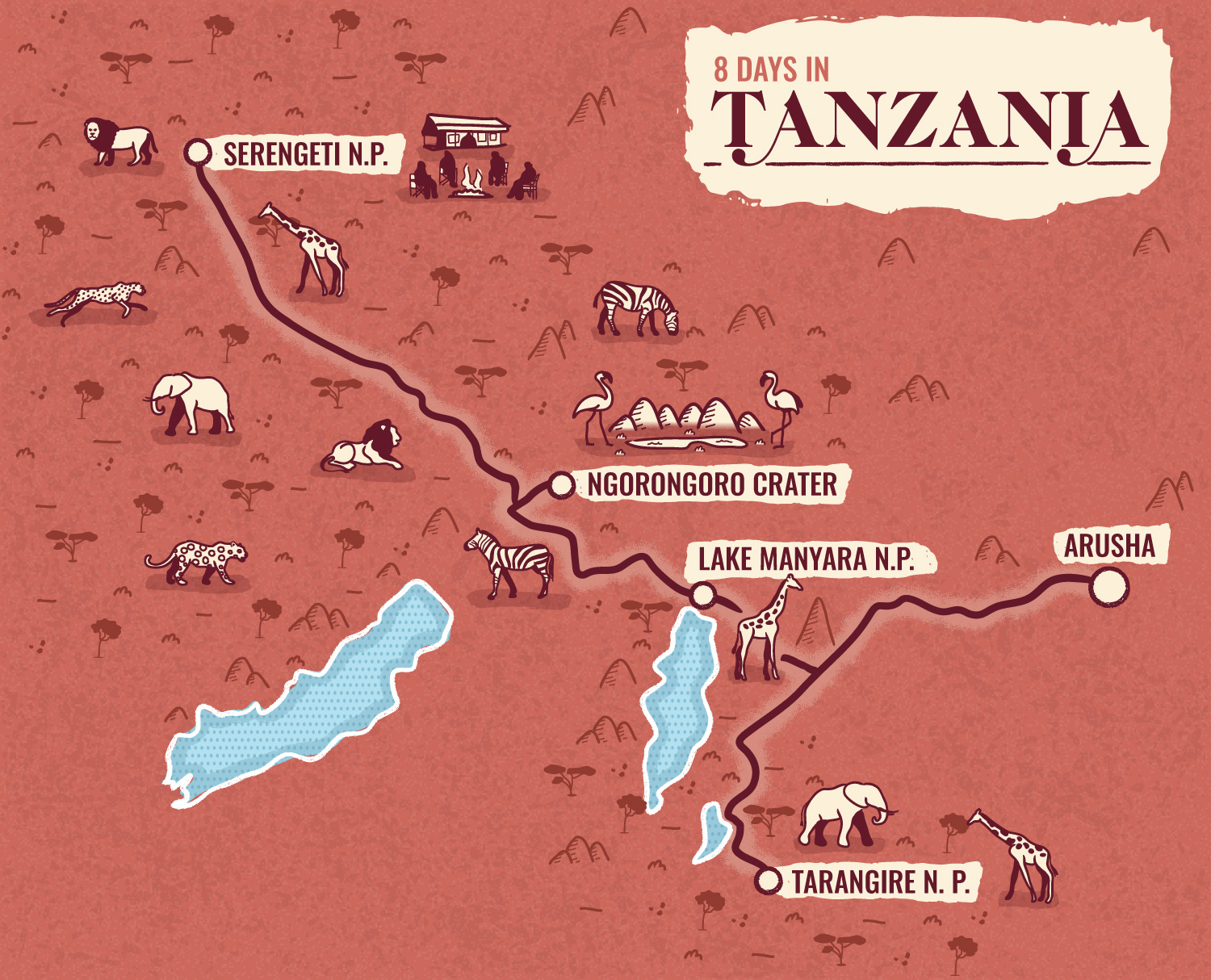

Illustrated map of Tanzania
Travel
Illustrated map of Tanzania showing an itinerary through Tanzanian National Parks offered by an Australia-based women only travel agency.
Illustrations represent local wildlife and camping in the National Parks.
This map is part of a series of 3 illustrated maps, the other ones being from Morocco and Iran.
- LocationTanzania, Serengeti National Park, Ngorongoro Crater, Lake Manyara National Park, Arusha, Tanrangire National Park
- ClientPatch Adventures
- CreditsThis 100% vector map was created by Greg Franco - Le Cartographiste with Adobe Illustrator and without the help of AI. Adobe Illustrator brushes from RetroSupply Co.


