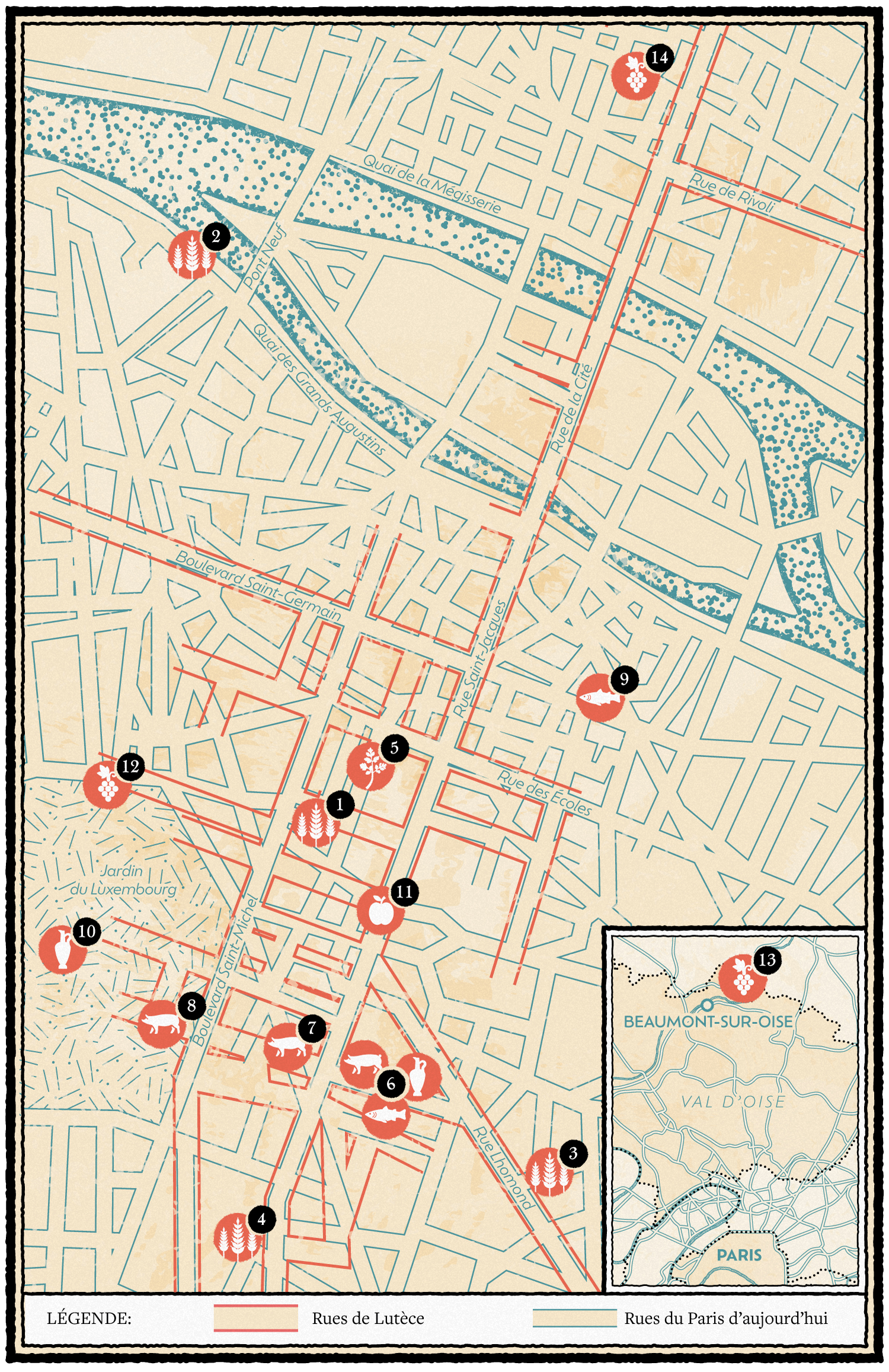

Street map of Paris for Let's Eat Paris
Detailed street map of Paris for François-Régis Gaudry's book "On Va Déguster Paris" (Let's Eat Paris) about the Parisian gastronomy published by Marabout.
The gallo roman town of Lutèce was located where Paris currently is. It was founded by a Gallic tribe, the Parisii, during the 3rd century BC. Thanks to archeological digs, archeologists were able to identify some food habits of the Parisii. This practical map overlays the streets of Lutèce with current day Paris and indicates the locations of those archeological digs with custom iconography created to represent the type of food remains that was found.
Let's Eat Paris is a 448 pages encyclopedia/guide about the Parisian gastronomy and I'm fortunate to be part of the 20 illustrators that helped make this book a real piece of art.
- LocationParis, France
- Art DirectorHic et Nunc studio and Drink studio
- ClientMarabout
- CreditsThis 100% vector map was created by Greg Franco - Le Cartographiste with Adobe Illustrator and without the help of AI.


