What is an illustrated map? Understanding the differences between illustrated and practical maps
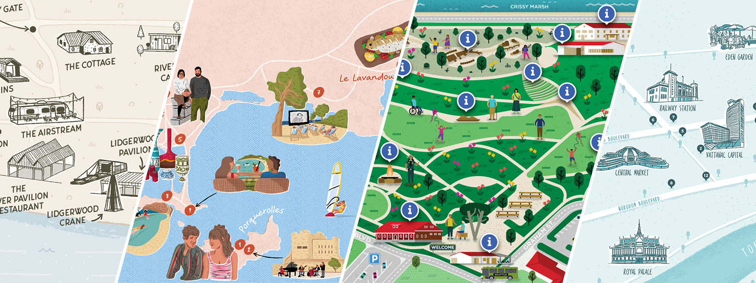
Over the years as a freelance map illustrator and designer, I have had the pleasure of working on many illustrated and practical maps. I’ve worked for clients from various industries, and I often encounter people who are confused about the difference between illustrated and practical maps. That’s why I wanted to discuss what these different types of maps are, how they differ, and share why both can be incredibly useful in their own ways! If you’re curious to see how both approach apply to the tourism industry (maps made for cities, regions, or visitor guides), I share tourism-focused projects over at illustratedtouristmaps.com.
1. What makes an illustrated map special?
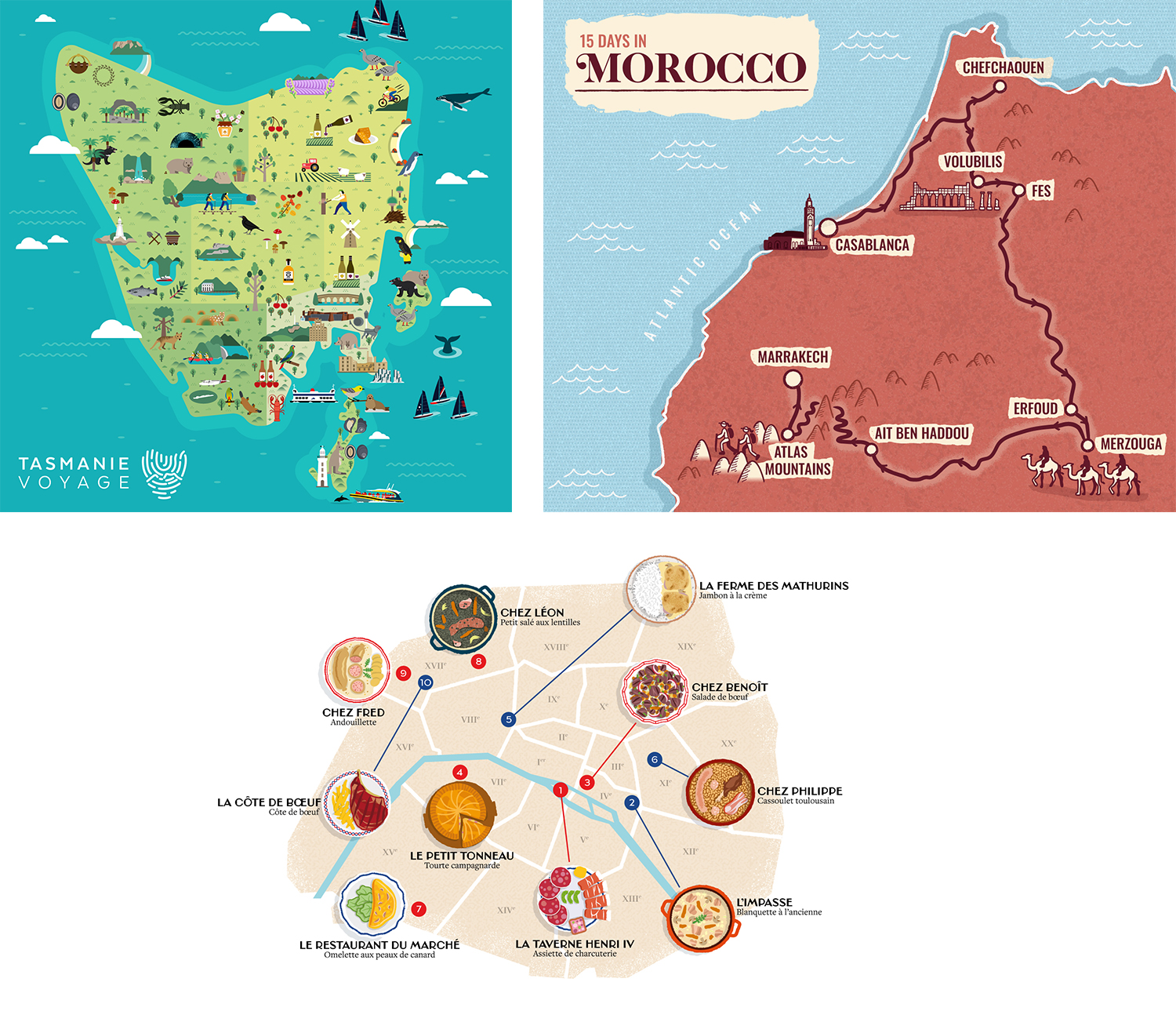
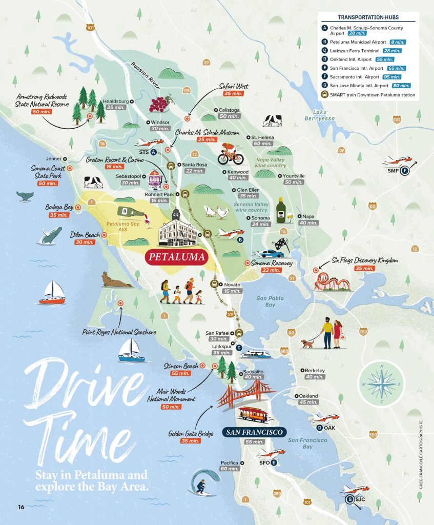
Illustrated maps are one of my absolute favorites to design. Imagine a map that tells a story and sparks a sense of curiosity as you look at it—that’s the essence of an illustrated map!
Illustrated maps can depict cities, parks, tourist destinations, or even fictional places. Rather than focusing on precise accuracy, they highlight landmarks, cultural features, and notable attractions with a creative touch, capturing the unique character and ambiance of the place they represent. You might see oversized buildings, fun characters, vibrant colors, and whimsical details, making each map one-of-a-kind.
The goal is to create a map that captures attention and invites viewers to explore and enjoy an area. Illustrated maps are often used for tourism, storytelling, or simply as decorative pieces.
2. What defines a practical map?
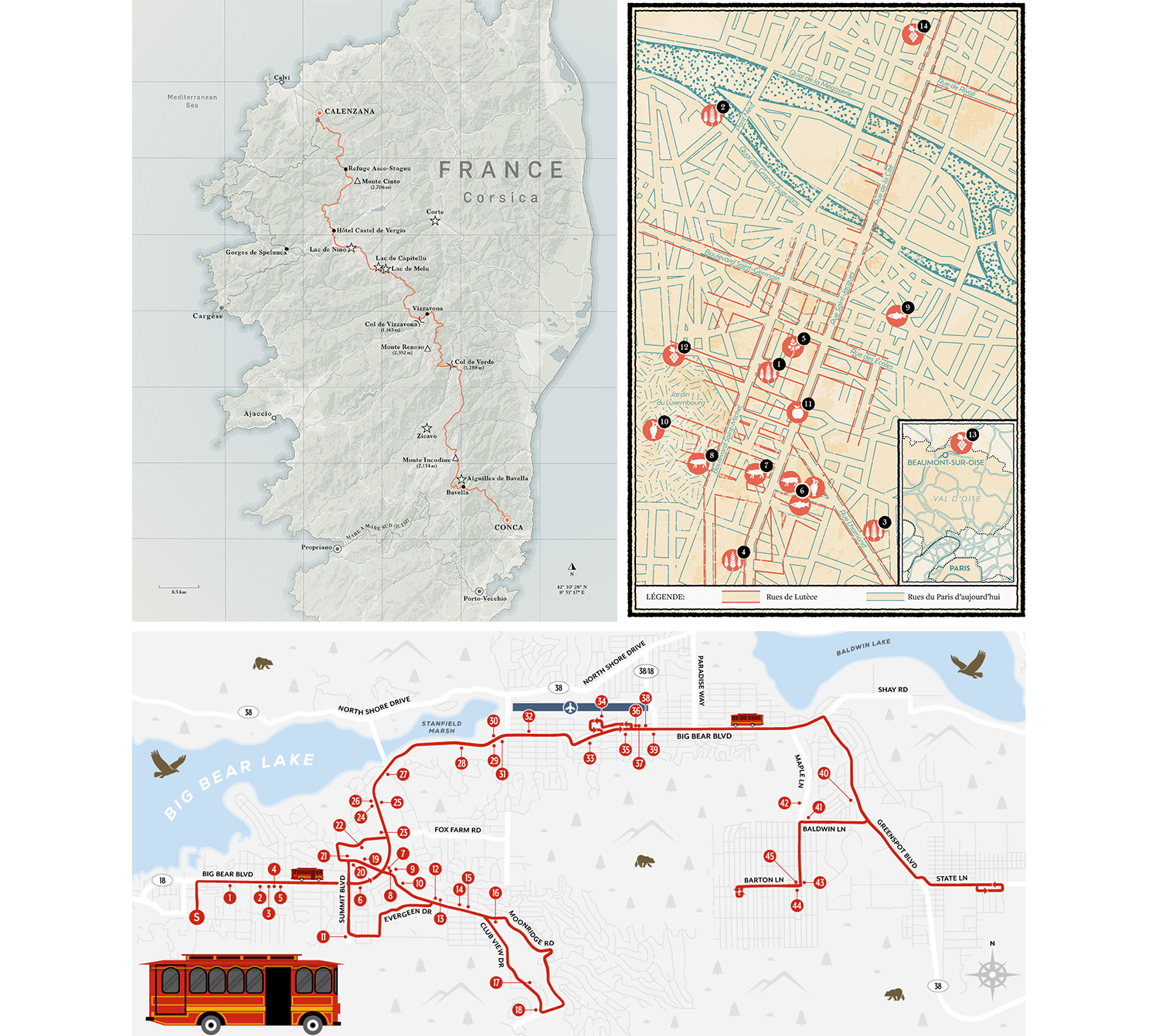
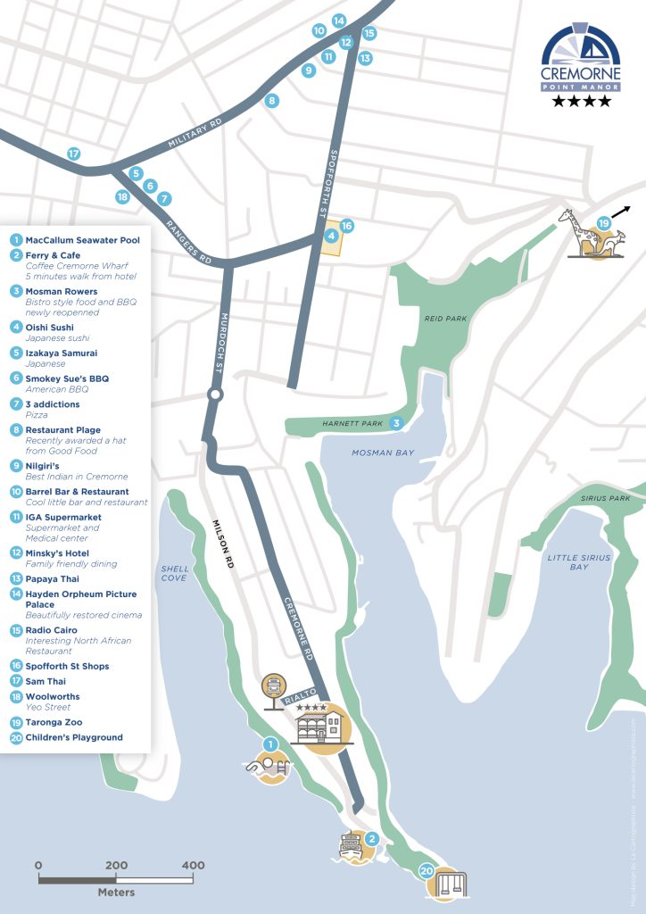
Now, let’s talk about practical maps—these are the clear, reliable, and detail-oriented maps that help us navigate and understand a specific area or region. Also known as traditional or functional maps, practical maps are designed with accuracy and utility in mind. They prioritize precise geographical information to ensure everything is to scale, with accurate locations and distances.
We’ve all had an experience with a practical map in their life—think of road maps, city maps, hiking trails, and transit maps—they’re all about functionality. These maps include essential details like roads, landmarks, geographic features, and points of interest, all presented in a straightforward and accessible way to help users understand the layout of any area and find their way around with ease.
But focusing on precision doesn’t mean practical maps are boring! I love working on these types of maps where I can still be creative, using color palettes and iconography to make the information both clear and visually appealing.
3. How illustrated maps and practical maps compare?
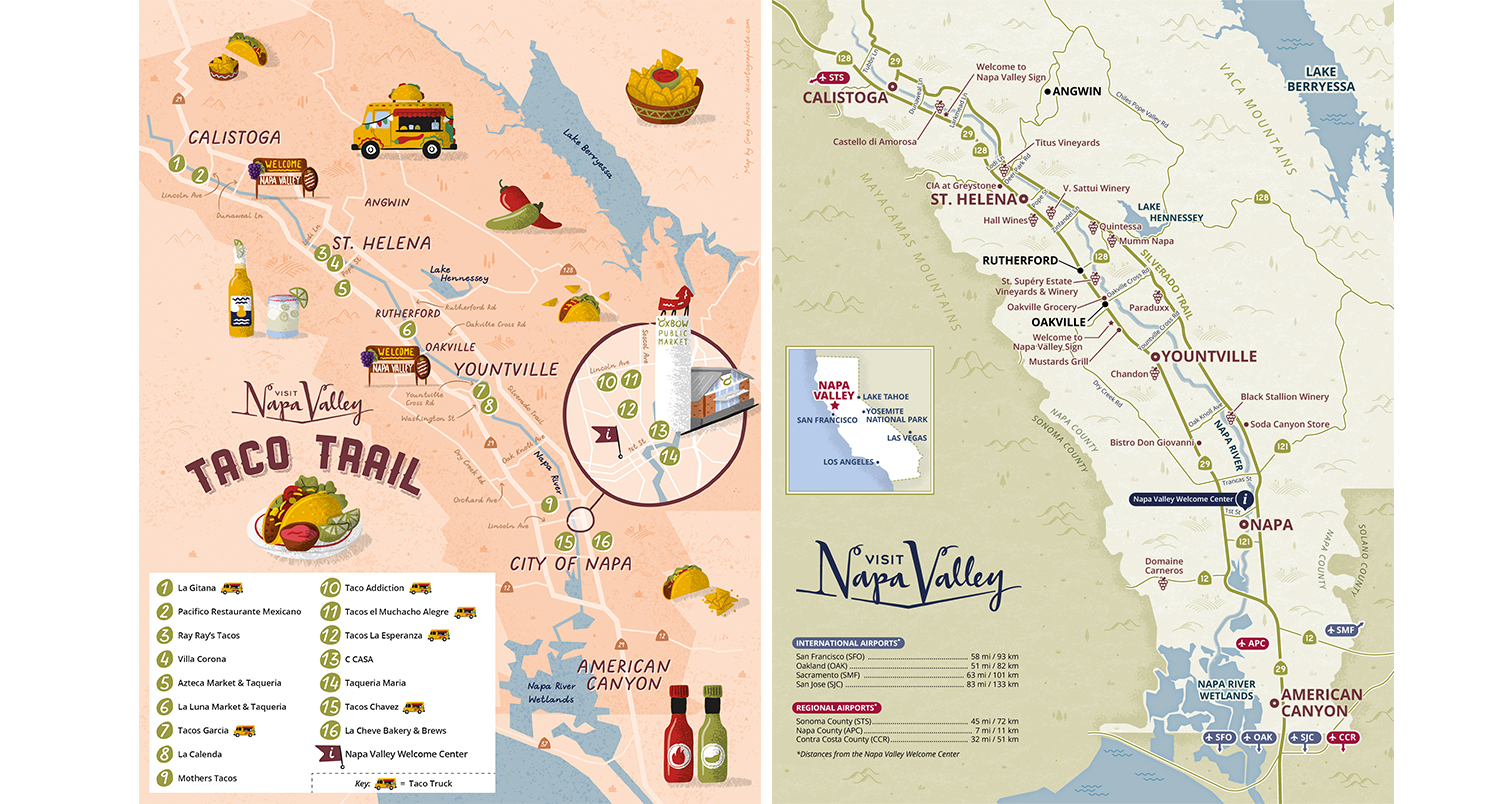
Now that I’ve introduced both types of maps to you, let’s review how they compare in terms of style, purpose, and functionality.
- Artistic vs. Functional: Illustrated maps focus on artistic expression and storytelling, while practical maps prioritize accuracy and functionality.
- Visual Appeal: Illustrated maps are designed to catch your eye with their creative and unique visuals, reflecting the essence and atmosphere of a place. Practical maps, on the other hand, are clean and straightforward, making them easy to read and use.
- Details and Accuracy: Illustrated maps often play with proportions and details to highlight key features creatively. Practical maps emphasize precise details like scale, locations and distances, crucial for orientation.
- Purpose and Audience: Illustrated maps are ideal for attracting audiences, making them perfect for promotion and storytelling. Practical maps are essential for orientation and helping audiences navigate or understand unfamiliar areas.
4. What are the benefits of Using an Illustrated Map or a Practical Map?
As we know, both types of maps serve to represent a geographical area but what why would you use one instead of another? Each one offers unique benefits that make them suited for different purposes:
Illustrated Maps:
- Engagement: Their creative designs draw people in, making them perfect for catching the attention of visitors or readers.
- Attraction: By highlighting landmarks and attractions in a fun and memorable way, they can encourage people to explore an area.
- Versatility: They’re great for various formats—magazines, posters, brochures, websites, and social media— they’re adaptable to different promotional strategies.
- Storytelling: In books or magazines, they visually enhance the narrative, helping readers connect with the story.
Practical Maps:
- Accuracy: Essential for providing precise, reliable information, making them indispensable for orientation and planning.
- Utility: These maps are invaluable for any audience needing orientation in unfamiliar areas, helping them easily find their way around and understand the layout of an area.
- Comprehensiveness: They offer a thorough view of an area, which can include transportation routes, points of interest, and topographical features, which makes them useful for various purposes.
- Trustworthiness: Their accuracy builds trust, making them essential for visitors guides and publications.
5. So what type of map do you need?
Clients who are still in the concept phase of their map project can be confused whether they need an illustrated map or a practical map (or both), and they often ask for my insight based on my expertise. I try to help them define the scope of the project through discussion but here are the questions you should ask yourself if you are in this situation:
- What is the primary purpose of the map?
If the goal is to engage with and attract an audience, such as for tourism or storytelling, an illustrated map might be the better choice. If the map needs to provide precise, functional information for orientation, a practical map would be more suitable. - Who is the target audience?
If the audience includes people looking to explore and experience a location in a fun and immersive way (like visitors or magazine readers), an illustrated map will likely be more effective. If the audience needs accurate directions (like travelers, hikers, or event attendees), a practical map will be more appropriate. - What type of information needs to be highlighted?
If you want to emphasize landmarks, attractions, or cultural features, an illustrated map is ideal, as it allows for creative interpretations and stylized representations. If you need to show roads, distances, and geographical details in an accurate and reliable way, a practical map is the right choice. - How will the map be used?
If the map will be used to illustrate an article in a magazine or in promotional materials, such as posters or brochures, where the goal is to capture attention, an illustrated map may be more effective. If the map will be used for practical purposes, such as for event directions or a detailed travel guide, a practical map will offer the accuracy and functionality required.
5. Conclusion
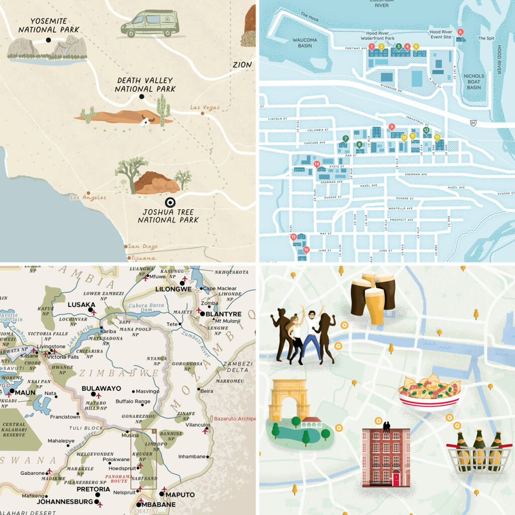
In conclusion, both illustrated and practical maps are great and fun to create and they both have their own benefits. Illustrated maps captivate and attract readers with their artistic appeal, while practical maps provide the accuracy and utility needed for effective orientation and planning.
And as I often get asked, yes a map can be both illustrated and practical, but it’s important to first consider the primary purpose of the map and the amount of content to feature on the map. This will help determine which approach—illustrated or practical—should take the lead.
Lastly, combining both types of maps in promotional efforts can offer a balanced approach, catering to a variety of audience needs and enhancing the overall experience of exploring a new area.
I hope this post has helped you clarify what an illustrated map is. If you’re curious about what to expect when working with a map illustrator, check out this article where I talk rates, timeline and process and if you’d like a practical guide on how to create an illustrated map, feel free to check out this article. Finally, If you want a deeper look at how tourism boards can use illustrated maps to inspire visitors in practice, explore my article on what goes into creating an effective map.
And if you’d like to discuss a specific project with me, don’t hesitate to reach out!
To learn more about me, visity my About page and if you want to explore more of my work: illustrated maps, practical maps or spot illustrations. You can also follow me on Instagram or subscribe to my newsletter for updates.
Greg Franco | Le Cartographiste

